Ahead of National Map Reading Week in May, we explain how to use your phone to map-read so you’ll never get lost again.
Google maps is great for getting you to the car park, but the moment you step onto the trail, so blank is the screen you may as well be exploring Terra Incognita.
It’s one of many reasons why outdoor types say a phone is no substitute for an old fashioned map and compass when you’re hiking. If it’s not the battery dying on you, it’s the lack of signal, or the inability to use in wet conditions that make them unsuitable.
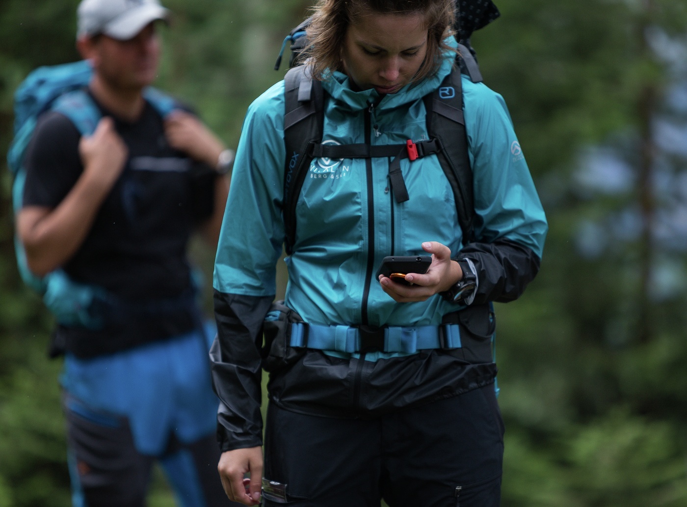
But provided you understand a phone’s limitations – and follow these tips – you can come to rely on them in the outdoors. And love them. Tapping an icon to pinpoint your location? You can’t do that on a paper map.
Our Land Rover Explore Outdoor Phone is clearly more suitable than others (well, it is durable, waterproof, drop proof, you can use with gloves on and it has more battery power) but most of these tips below can be applied to any phone.
Get a map-reading App
You need topographical mapping. We use ViewRanger. It comes as standard on the Explore phone but is available to download too.
British buyers have access to Ordnance Survey mapping via OS Maps app (the whole country is free when you buy an Explore in the UK) but country equivalent maps, such as Kompass maps in Austria are available for the rest of the world. The full list can be seen here.
Convert your phone
If you’re going to use your phone for navigation, you need to dedicate it to that job alone. If you’re also using it for calls, WhatsApping friends, checking things online or running data-heavy apps in the background, it will lose battery power quickly.
Consider switching to aeroplane mode and using another phone for online tasks. This has the added advantage of ensuring you’re not disturbed when you want some time out. (Even with aeroplane mode on, your phone will still be able to pinpoint your location.)
Download maps the night before
One of the biggest drawbacks to map-reading on a phone is needing a reception to reveal the map. Get around that by downloading the map for offline use before you go. This will save much heartache and headache, and could even prove a game-changer, as this photographer discovered in South America.
On ViewRanger tap the map overlay icon on the top-right of your screen or if you have downloaded a route, after tapping ‘sync contents’, tap the three dots top right and the option is at the bottom.
Use paper maps too
Paper maps are not redundant. One of the biggest drawbacks of using a phone screen to map-read is the small viewing area. It works, but it’s difficult to get a bird’s eye view of the whole area and doesn’t give anything like the same joy you get from poring over a map on the floor, or across a pub table with your friends. Use the two in tandem.
Be obsessive about battery life
If you’re relying on your phone to navigate, then make sure you start the route with the battery at 100%. That means being fanatical about charging before you go, and keeping topped up in the car on the way to the start.
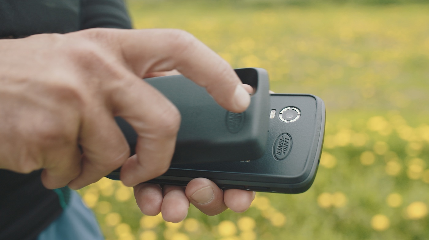
- The Explore phone comes with additional battery power in the form of an Adventure Pack (which also boosts the GPS signal).
- For other phones, consider taking a power bank as an emergency back-up.
Optimise settings BEFORE you go
Sounds obvious, but forget trying to optimise settings on the trail. Do it the night before. Going somewhere cold? On the Explore you can switch on glove mode (display > glove mode) as well as personalise your dashboard so you can see weather and conditions at a glance.
- To aid map-reading on the ViewRanger app, select ‘show compass’ and ‘HUD compass’ (display preferences) which will help you orientate yourself more quickly.
- Consider turning on Auto Rotate when the phone is on a fixed bike mount.
- Check out more customisations on ViewRanger’s own help pages.
Understand a phone’s limitations
The ability to take (and follow) a bearing when the mist comes down is an essential map-reading skill. And it’s all but impossible on a phone.
It involves placing your compass on a map, measuring the bearing of where you want to go in relation to where you are – and then following that compass bearing. Trying to do it on a phone is a bit like putting a physical ruler on your computer screen to measure margins on a doc. Not ideal.
However, there is a directional red arrow on ViewRanger you can turn on (settings > navigation > auto follow route) which does give the direction of travel you need to follow.
Have a back up
Consider having a map and compass or another GPS device as backup.
If your route requires technical and difficult navigation, say a mountain descent where you have to follow a set direction, it’s a good idea to write down the bearings and the distance. You can then follow the bearing either on the phone’s compass or via an analog compass.
Get help identifying peaks

On top of a mountain and want to identify the peaks in the distance? Good luck trying that on a paper map. (It is possible, if an art-form).
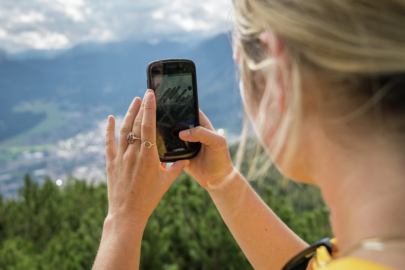
But on your Explore phone you can use the Skyline app, which uses the phone’s camera to reveal the names above the summits. It’s packaged within ViewRanger.
No need for string
Lastly, should you encounter any old-school adventure type who still insist that phones have no place in the hills, just mention ‘string’.
In analog days, the only way to measure distances at the end of the day was to line a piece of string along your route, and then measure it against the scale of the map. Having a button for that is so much easier.
What are your tips for navigating with a phone? Share them via #GetOutside #ExploreMore


